Poznań City Hall’s archive, photo. M. Kaczmarczyk
The area of the city is 262 km2. The span between the administrative borders of Poznań along the north-south axis is about 23 km and that along the east-west axis is approximately 24 km.
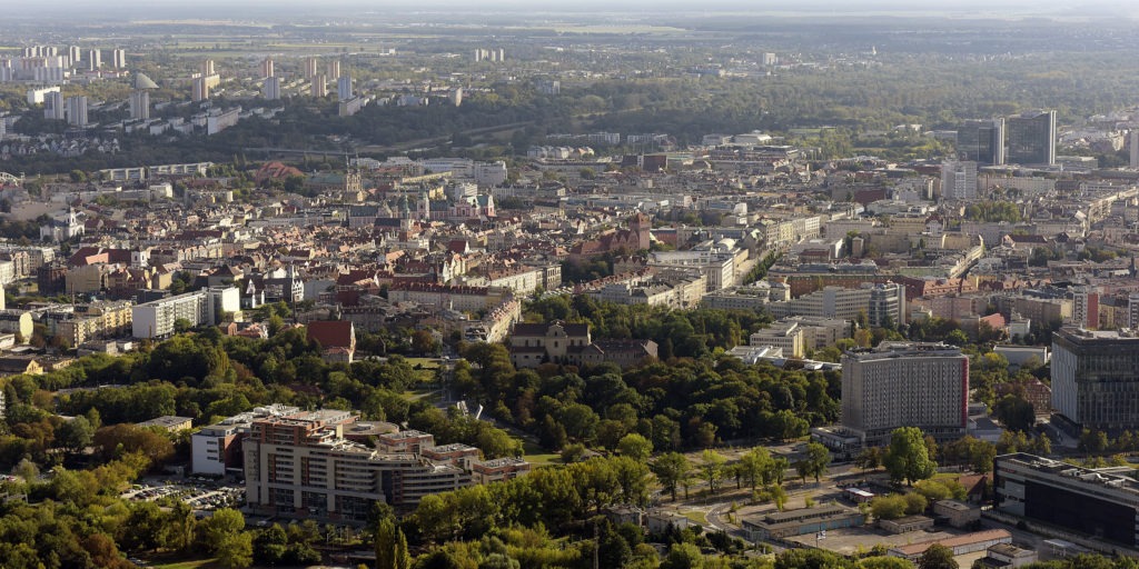
Poznań is located in a gorge of the Warta River valley. The area of the city is characterised by varied terrain. The Warta River bed, situated 45 metres above the sea level, is the lowest-located part of the city. As for the highest-located one, this the Moraska Hill (154 meters above the sea level).
Spatial and functional structure
The area of Poznań is largely urbanised. Developed areas and roads account for 45.1% of the total area of the city.
The spatial and functional structure of Poznań is characterised by:
- a wedge-and-ring greenery system
- a framework road system
- the city centre area with a distinct downtown.
The spatial and functional structure of the city has been designed in a way reflecting the natural conditions. The Warta River valley divides the city into two parts:
- left-bank one, with service and commercial centres as well as public and business institutions in the centre, and modern service and commercial buildings on the outskirts of the city; in Śródmieście, there are also numerous academic, scientific and cultural institutions
- right-bank one, with the oldest parts of Poznań in the New Town, i.e. Ostrów Tumski and Śródka; the extremely diverse functional structure of the New Town area is dominated by consistent multi-family dwellings.
Industrial areas
Industrial areas cover less than 5% of the city’s area and are located mainly in the north-eastern part of the city (Główna Street, Karolin), in Podolany, Juników, and Wilda, and south of Hetmańska Street. As regards the fastest-developing industrial regions, these are Antoninek, Starołęka and Podolany.
Residential areas
Residential areas cover 13% of the city’s area, of which:
- traditional downtown development (tenements) constitutes less than 5% of the residential areas and is found mainly in Śródmieście
- block and quarter development (approximately 25% of the residential areas) can be found mainly in the area with housing estates in the northern part of the city (Piątkowo and Winogrady), eastern (Rataje), southern and the south-western ones (Dębiec, Grunwald)
- single-family dwellings are located primarily in the western and south-eastern parts of the city; the greatest growth rate of single-family housing development is recorded in Strzeszyn and Szczepankowo.
Service areas
Service areas cover approximately 10% of the city’s area.
Ownership structure
The ownership structure of the land in Poznań included:
- communal land and land in usufruct constituting 37.3% of the city’s area
- land owned by natural persons, constituting 28.8% of the city’s area
- land owned by the State Treasury, constituting 25% of the city’s area
- land owned by various associations, organisations and legal persons, constituting 8.9% of the city’s area.
Ownership structure of land in Poznań in 2017
| in % | |
| owned by State Treasury | 25.0 |
| communal | 37.3 |
| owned by natural persons | 28.8 |
| other | 8.9 |
Source: Board of Surveying and City Cadastre (GEOPOZ)
Structure of the city’s area by its usage in 2017
| in % | |
| agricultural land | 32.2 |
| forest land | 13.7 |
| developed and urbanized land | 45.3 |
| land under waters | 2.6 |
| other | 6.2 |
Source: Board of Surveying and City Cadastre (GEOPOZ)
The directions of land development of Poznań are determined based on the “Study of conditions and directions of land development of Poznań”, adopted on 23 September 2014, under which local land development plans are prepared.